
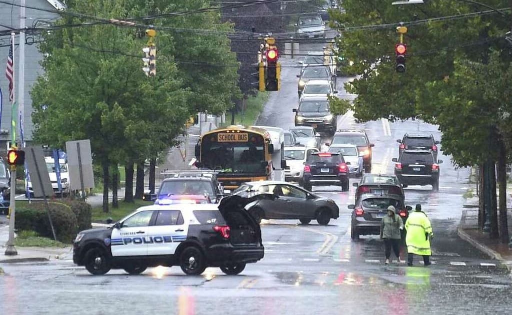
July 9, 2025 – The National Weather Service (NWS) has issued Flash Flood Warnings for parts of Connecticut and New York, including Stamford, CT, Port Chester, NY, and Harrison, NY, effective until 10:45 PM EDT on July 9, 2025. The warnings come as heavy rainfall continues to pose a significant risk of flash flooding in the region, particularly in low-lying areas, urban centers, and near small creeks and streams. This follows a series of devastating flood events across the United States, including the catastrophic Texas floods earlier this month.
Details of the Flash Flood Warning
The NWS reported that a cluster of slow-moving thunderstorms is producing heavy rainfall rates of 1 to 2 inches per hour, with some areas potentially receiving up to 4 inches of rain in a short period. This intense rainfall is expected to cause flash flooding in urban areas, highways, streets, and underpasses, as well as small creeks and streams. Residents are urged to seek higher ground immediately and avoid traveling through flooded areas, as just 6 inches of fast-moving water can knock a person off their feet, and 2 feet can sweep away a vehicle. The NWS emphasizes the slogan “Turn Around, Don’t Drown!” to highlight the dangers of driving through floodwaters.
- Affected Areas: Stamford, CT; Port Chester, NY; Harrison, NY.
- Duration: Until 10:45 PM EDT, July 9, 2025.
- Hazards: Life-threatening flash flooding of low water crossings, urban areas, and small streams.
- Safety Recommendations:
- Move to higher ground if in a flood-prone area.
- Avoid walking or driving through floodwaters.
- Monitor NOAA Weather Radio or local news for updates.
- Be cautious at night when flood risks are harder to detect.
Context of Recent U.S. Flash Flooding
This warning comes in the wake of catastrophic flash flooding in Central Texas along the Guadalupe River from July 4–5, 2025, which resulted in over 100 deaths and dozens still missing, particularly in Kerr County. The Texas floods, described as a “hundred-year catastrophe,” were triggered by 4 to 10 inches of rain falling in just hours, causing the Guadalupe River to surge to 29 feet—its second-highest level on record. The event exposed challenges in warning dissemination, with some residents not receiving timely alerts due to poor cell service or delayed local notifications.
Other recent flash flood events include:
- New Mexico (October 2024): Roswell saw half a year’s rainfall in 24 hours, causing two deaths and widespread flooding.
- North Carolina and Oklahoma (July 2025): Posts on X indicate flash flooding risks in these states, though specific warnings were not detailed.
Why Flash Floods Are a Growing Threat
The increasing frequency and intensity of flash floods are linked to climate change, which allows warmer atmospheres to hold more moisture, leading to heavier rainfall. The U.S. saw a record 91 flash flood emergencies in 2024, and the trend continues into 2025. Urbanization and wildfire burn scars further exacerbate risks by increasing runoff and reducing soil absorption.
How to Stay Safe and Informed
- Monitor Alerts: Check www.weather.gov or NOAA Weather Radio for real-time updates.
- Use Tracking Tools: Websites like www.flashfloodwarn.com provide interactive maps of active warnings.
- Follow Local Authorities: Stay updated via local emergency management or NWS social media accounts (@NWS on X).
- Prepare an Emergency Plan: Know evacuation routes and have a family communication plan in place.
Outlook
The NWS has also noted a Slight Risk (Level 2 of 4) of excessive rainfall across parts of the Mid-Atlantic, Southern New England, eastern Oklahoma, and the Ozarks on July 9, 2025, indicating potential for additional flash flood warnings. Residents in these areas should remain vigilant, especially in recently burned areas prone to rapid runoff.
For the latest updates, visit www.weather.gov or follow @NWS on X. If you are in an affected area, take immediate action to ensure your safety.